Dam Removal Modeling and Monitoring
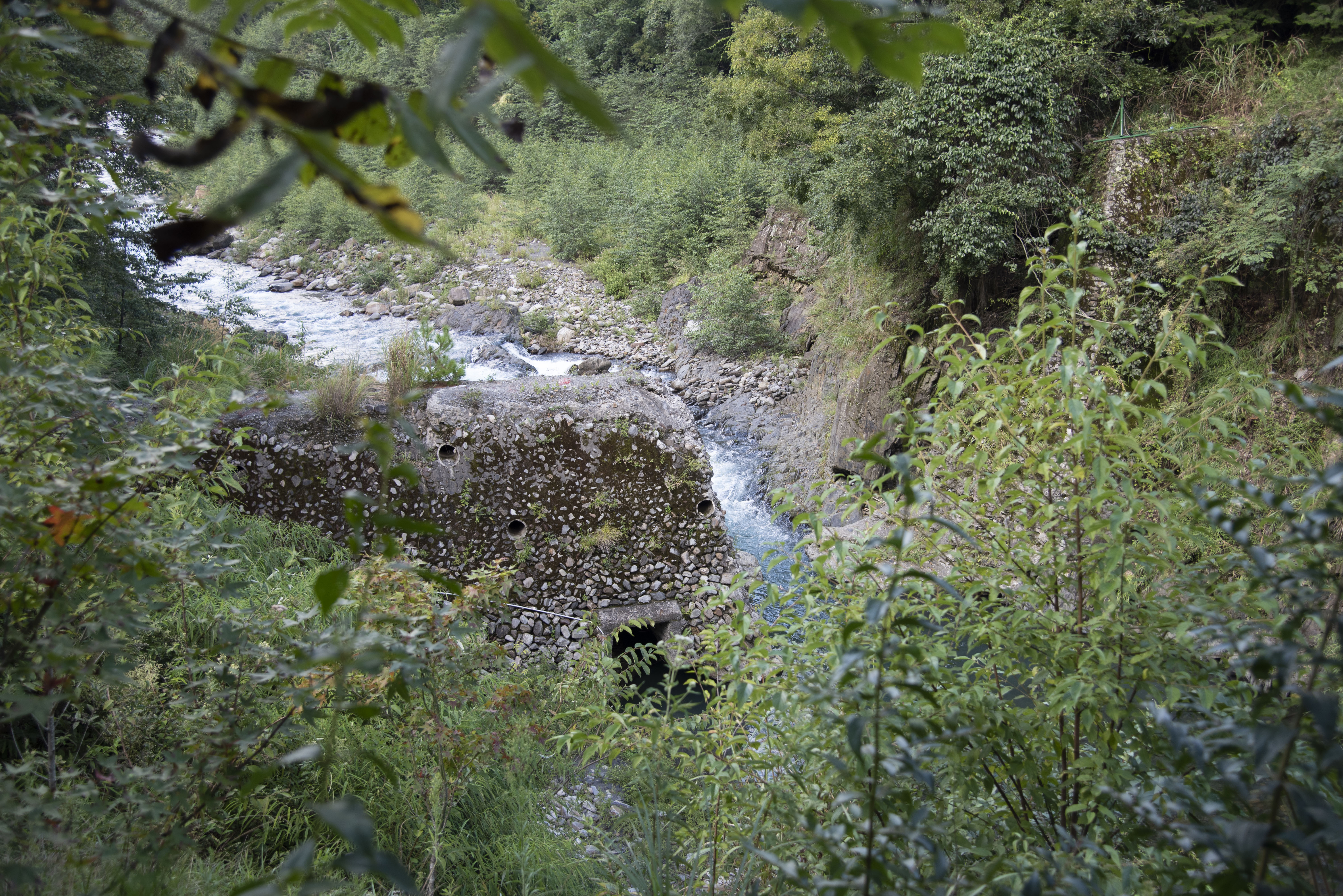
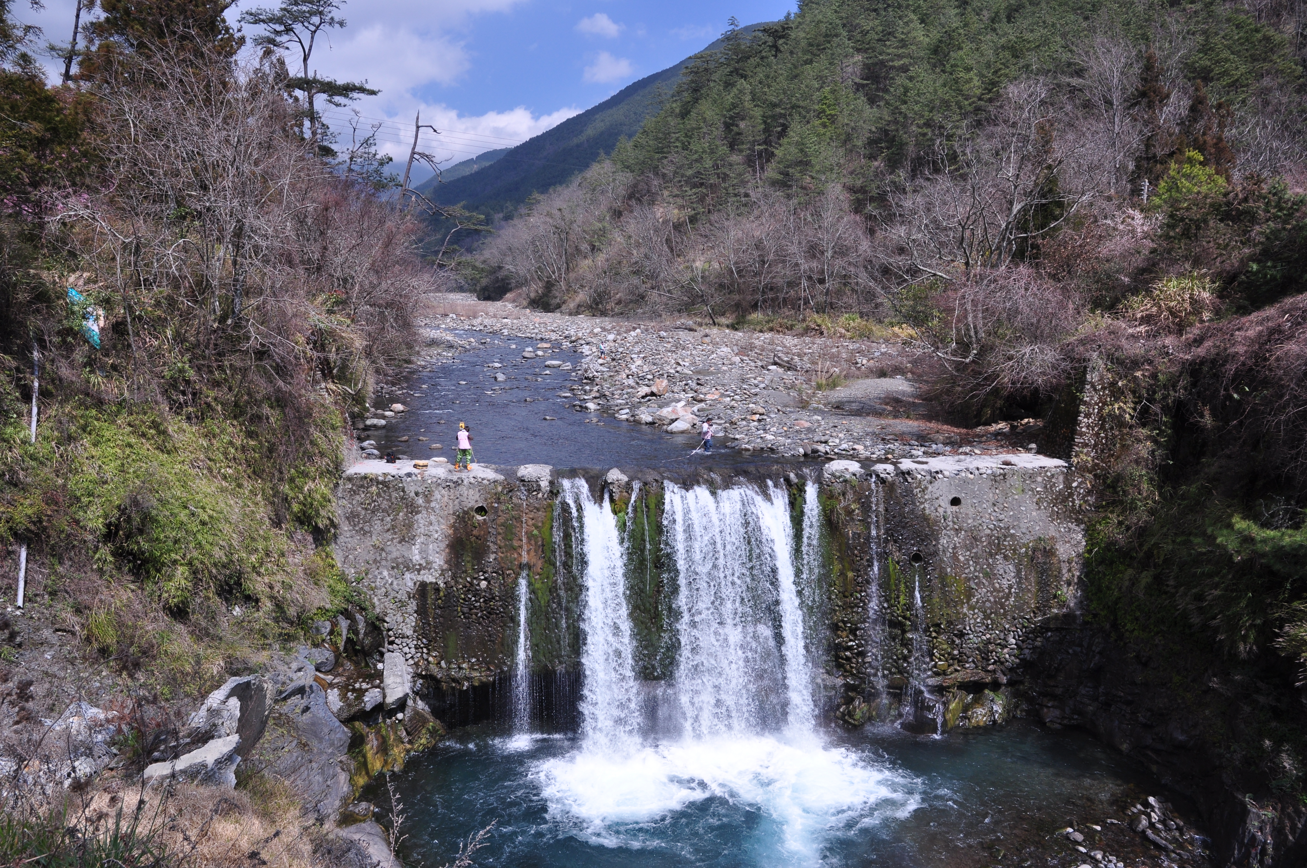
In 1971, dozens of check dams were successively built in the Chijiawan basin to carry out soil and water conservation work upstream of the Techi Reservoir. These check dams have the function of blocking sand and rock and stabilizing the riverbed in the early stage of construction. However, after several floods, most of the check dams are full. The existence of check dams has drastically changed the habitat of riverbeds in the upstream and downstream of the dam, and the resistance of sand control dams has formed a barrier for salmon migration.
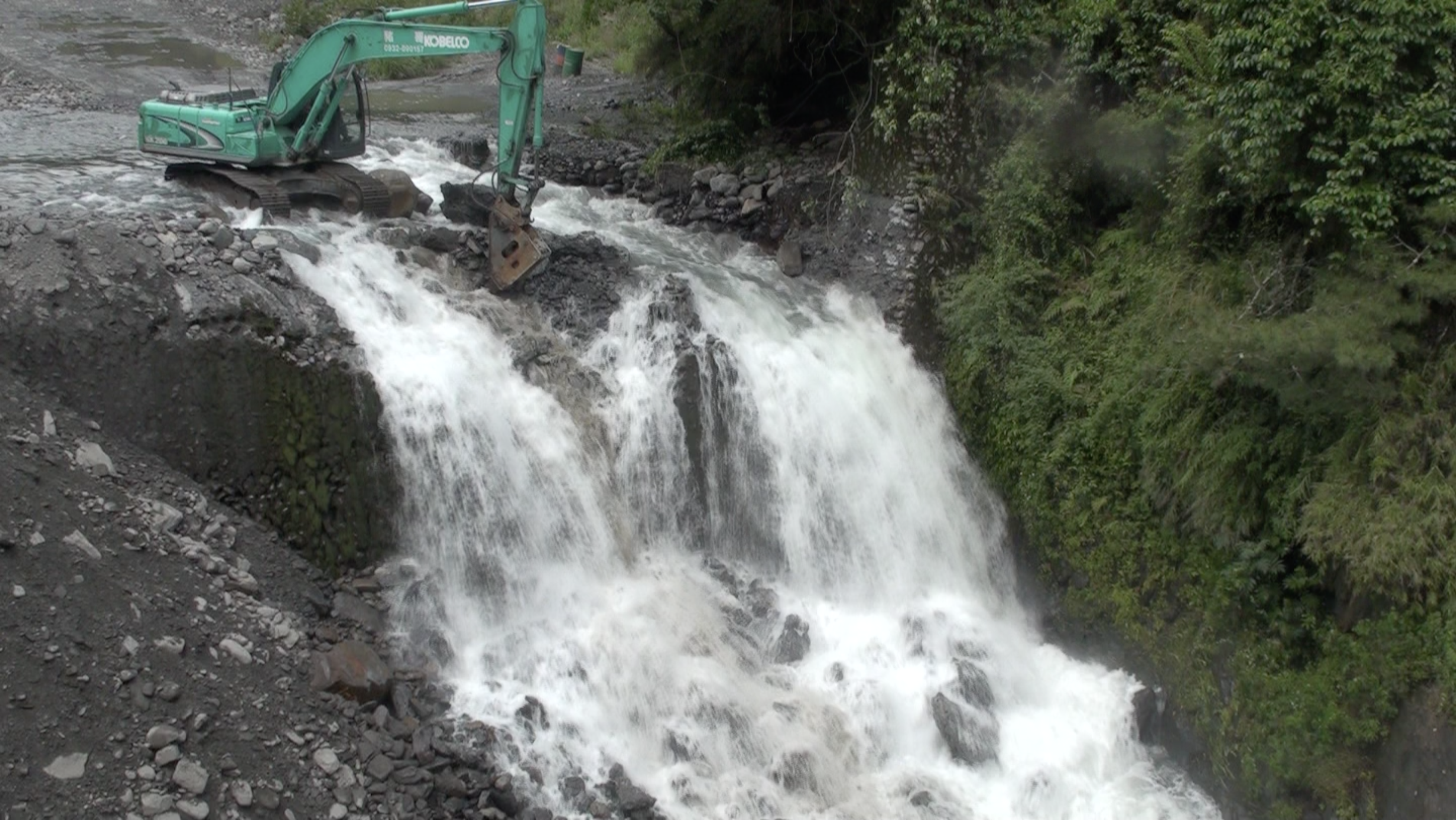
To consider the safety of Chijiawan No.1 dam and to revive the habitat of Formosan landlocked salmon, Shei-pa National Park held several expert meetings to gather the results of discussions between experts from various hydrology, sediment, fluvial geomorphology, ecological habitats, ecological inspection assessment, and other evaluations. Shei-pa National Park concluded “the Dam removal of Chijiawan No.1 dam”, and completed the dam removal project of Chijiawan No. 1 dam at the end of May 2011.
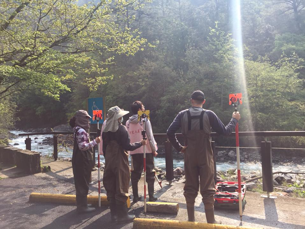
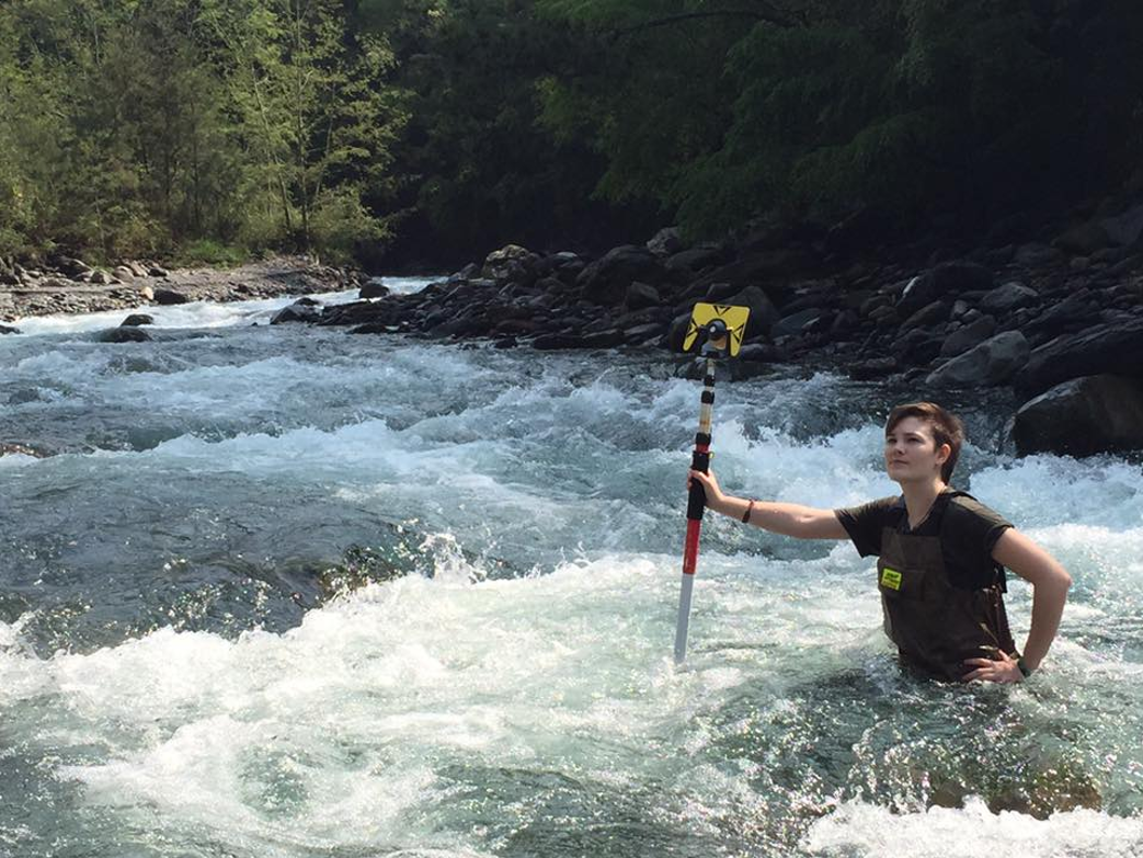
After the dam removal, the fluvial geomorphology changed, which affected the conditions for salmon survival such as habitat environment, hydrology, and sediment changes. Our team continued to carry out cross-section measurement, particle size analysis, and habitat investigation, collecting hydrological data and field measured data over the years to understand the trend and characteristics of the river bed evolution and to clarify the impact of sediment on river channels before and after the dam removal.

